Yurrebilla Ultra Marathon 2026: 56km Through Adelaide Hills
One of South Australia's iconic trail races, the Yurrebilla Ultra Marathon takes place on September 27, 2026 through national parks and conservation reserves in the Adelaide Hills. Three distances available: 13km, 28km, and 56km.
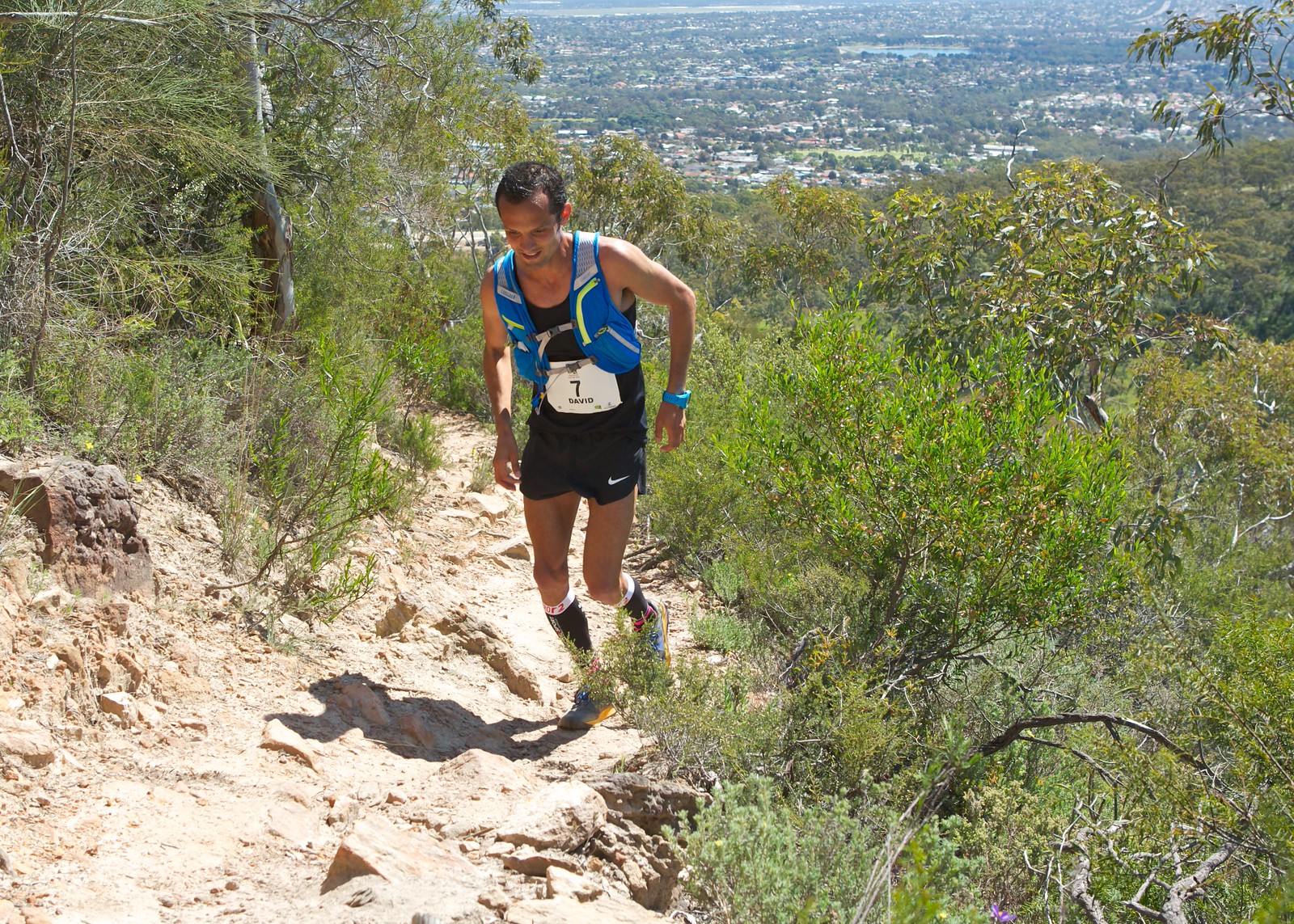
On September 27, 2026, the Yurrebilla Ultra Marathon takes over the Adelaide Hills in South Australia. This trail winds through a series of national parks and conservation reserves under Mt Lofty summit, making its way across the western face of the Adelaide Hills, never more than 12km from central Adelaide. With three distances (13km, 28km, and 56km) and a technical course mixing single tracks and fire trails, it's a South Australian reference point.
Yurrebilla Ultra Marathon 2026 by the numbers
The main 56km course runs from Belair Railway Station in the south, climbing 1865 meters and descending 2060 meters before reaching Foxfield Oval in Athelstone. The race offers three events: the 56km (hilly profile, trail terrain), the 28km starting at Coach Road in Ashton, and the 13km based at Foxfield Oval. The 56km cutoff time is 11 hours 30 minutes, with an early morning start. The course features 8 aid stations spaced every 6 to 8km.
Course breakdown
First 17km: Belair National Park to Eagle-on-the-Hill
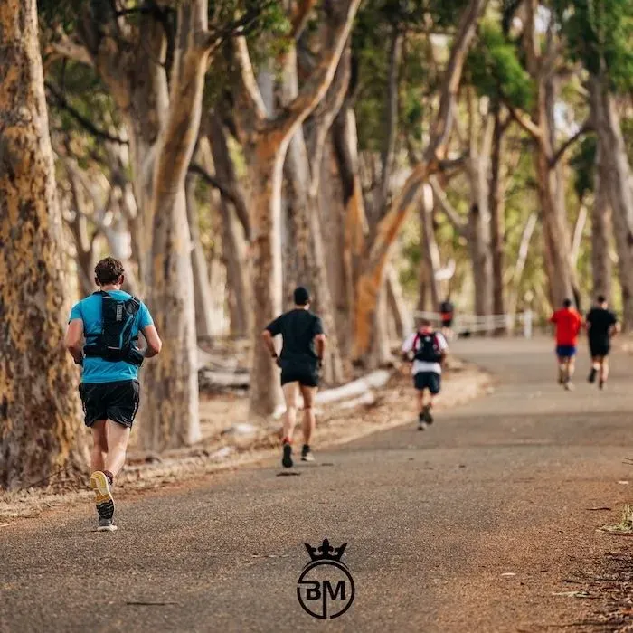
The race begins at Belair National Park Train Station with a fast downhill section into single track trails overlooked by koalas in the trees. The terrain is technical from the start. The first section crosses Belair National Park, where you'll navigate narrow trails and rooty passages. Then the real work begins: a steady 15km climb along the Old Freeway, cresting at Eagle On The Hill before entering Cleland National Park.
Km 17 to 33: Cleland, Horsnell Gully and Norton Summit
In Cleland National Park, home to many kangaroo mobs, runners follow Wine Shanty Track which exits onto a brief road section connecting the conservation parks of Horsnell Gully and Giles with Norton Summit, also marking the halfway point. A 2km road section near Norton Summit can be unnerving on foot, especially after so much single track. This area can be complex: there are areas through Cleland National Park with many intersecting trails, so being familiar with the route or taking time to reference the map will save time.
Km 33 to 48: Morialta Conservation Park
Morialta Conservation Park divides veterans: fantastic trails, scenic views, and flowing waterfalls await to distract runners from challenging descents, trip hazards, and warm temperatures. You pass the marathon mark here. Mentally, this is often when the race becomes a real internal battle.
Km 48 to 56: Black Hill and the finish
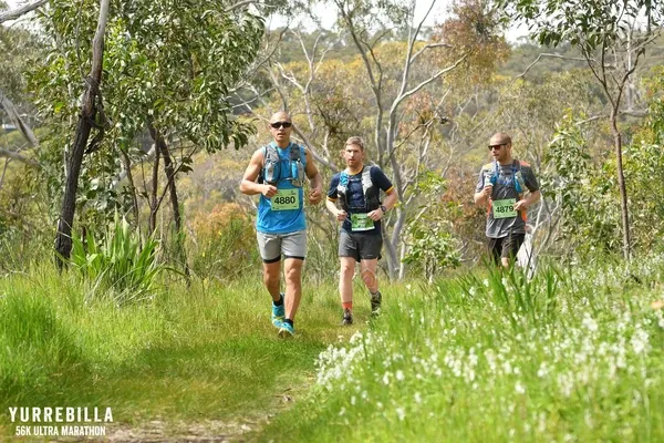
The Montacute Road aid station (48km) requires departure by 4pm to respect the cutoff. Then comes Black Hill Conservation Park: as the name implies, it's the cruelest climb, saved for last. The solid hike up drains whatever energy remains. Cresting the summit, runners begin to hear whispers of the finish line cheering, only a few more kilometers of descent down Summit Track, then Wildflower Track signals the beginning of the end and marks the final dash to Foxfield Oval in Athelstone.
What weather to expect
Late September in the Adelaide Hills typically marks the beginning of the southern spring. Temperatures generally range between 14°C in the morning and 22°C during the day. Rain is possible about every other day during this period, with average precipitation of 4mm. Wind blows moderately, around 14km/h.
Plan for layering: it can be cool at the Belair start, but heat builds quickly on climbs and as the day progresses. If rain arrives, single tracks become slippery and roots treacherous. Hydrate regularly at aid stations, especially if the sun beats down in exposed sections like Morialta.
Race strategy and tips
Manage your effort from the first kilometers
The initial descent at Belair can tempt you to charge. Hold back. The 15km climb that follows along the Old Freeway will make you pay. Find your rhythm on the fire trails, conserve energy for what's ahead.
Anticipate technical zones
The multiple trail intersections at Cleland demand vigilance. Download the GPX file in advance to your watch or phone. A navigation error in these sections can cost you dearly in time and morale.
Nutrition on a well-supported ultra
Aid stations are fully equipped with food and drink, but carry your own gels or bars for sections between points. Over 56km with 1865m of elevation gain, your body will consume plenty. Don't neglect salt, especially if you're sweating.
Mentally prepare for Black Hill
Black Hill Conservation Park, the final climb, is saved for last. After 48km, this is where the race truly unfolds. Break it into small segments, focus on each switchback. This is also where a voice message from your loved ones via Cobbr can make all the difference.
What makes this race special
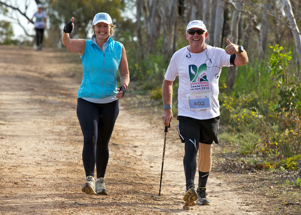
The Yurrebilla Trail Ultra Marathon is designed for everyone: not only for those who want to race hard, but also for people new to ultramarathons who want to see if they have what it takes. The trail's proximity to services via access roads and fire tracks guarantees runner safety, without diminishing the experience of a genuine bush trail.
Buses are arranged to transport runners from the finish line at Foxfield Oval to the start of both the 28km at Coach Road and the 56km at Belair Railway Station. Logistics are well-oiled. The atmosphere is typically Australian: relaxed but determined, with a true trail spirit.
Bib collection: check the official website for exact times and location. Showers and changing facilities are available at the finish at Foxfield Oval.
Getting encouragement during the Yurrebilla Ultra Marathon with Cobbr
At kilometer 48, when you leave Montacute Road to tackle Black Hill, fatigue has well and truly set in. Your legs are heavy, you're questioning why you're doing this. That's exactly when the voice of your partner, best friend, or kids can change everything. With Cobbr, your loved ones record voice messages of encouragement that trigger automatically at the kilometer of their choice during your race. A mental boost when you need it most, without anyone having to camp for 11 hours beside the trail.
Yurrebilla Ultra Marathon 2026 FAQ
What distances are offered?
Three events: 56km with 1865m D+, 28km starting from Coach Road in Ashton, and 13km from Foxfield Oval. All share the same hilly trail spirit in the Adelaide Hills.
Is the Yurrebilla 56km suitable for ultra beginners?
Yes, it's an ideal event for testing ultra capabilities, with a focus on supporting runners of all abilities through regular aid stations along the route. But be realistic: 56km and 1865m of elevation gain require proper preparation.
What's the time limit?
11 hours 30 minutes for the 56km. At the Montacute Road aid station (km 48), you must depart by 4pm.
What's the weather like in late September in the Adelaide Hills?
Typical conditions for this period show temperatures between 14 and 22°C, with about a 50% chance of rain. Bring adaptable and waterproof clothing.
Can I receive encouragement from loved ones during the race?
Absolutely. With Cobbr, your loved ones record voice messages that trigger at the kilometer you choose. Perfect for boosting you on difficult climbs or moments of doubt, without them needing to be physically present.
Are there many aid stations?
Yes, 8 aid stations are positioned every 6 to 8km on the 56km. Food and drink are provided, but you can also bring your own supplies.
The Yurrebilla Ultra Marathon is a journey through Adelaide's most beautiful natural parks, with the city always visible below. Technical, hilly, well-organized: a race that tests you while letting you enjoy unique landscapes. See you on September 27, 2026 in Belair.